
Stokoe High Crags - Northumberland Walk
Wednesday 19th October 2022
On a good day we can see the trig point on Stokoe High Crags from our cottage so I was keen to bag it before we left Northumberland. Research had suggested it was a bit of a trudge through a forest so the original plan had been to return via the footpath on Snabdaugh Moor to give us some views and to cross the river back to the car at Matthew Bridge. On arrival at the car park it became clear that access to the bridge was non-existent and so that section of the walk was up for debate given the additional walking would lengthen the walk to 9 miles with extra ascent.
Start: Car park at Dally Castle (NY 7754 8439)
Route: Dally Castle - Cadger Ford - Bower Wood - Stokoe High Crags (TP) - Bower Wood - Dally Castle
Distance: 5.75 miles Ascent: 160 metres Time Taken: 3hrs 50 mins
Terrain: Overgrown footpaths and forest tracks
Weather: Wet and grey
Pub Visited: None Ale Drunk: None

The remains of Dally Castle can be seen above us to the left as we follow the unnamed road towards Bower Wood.
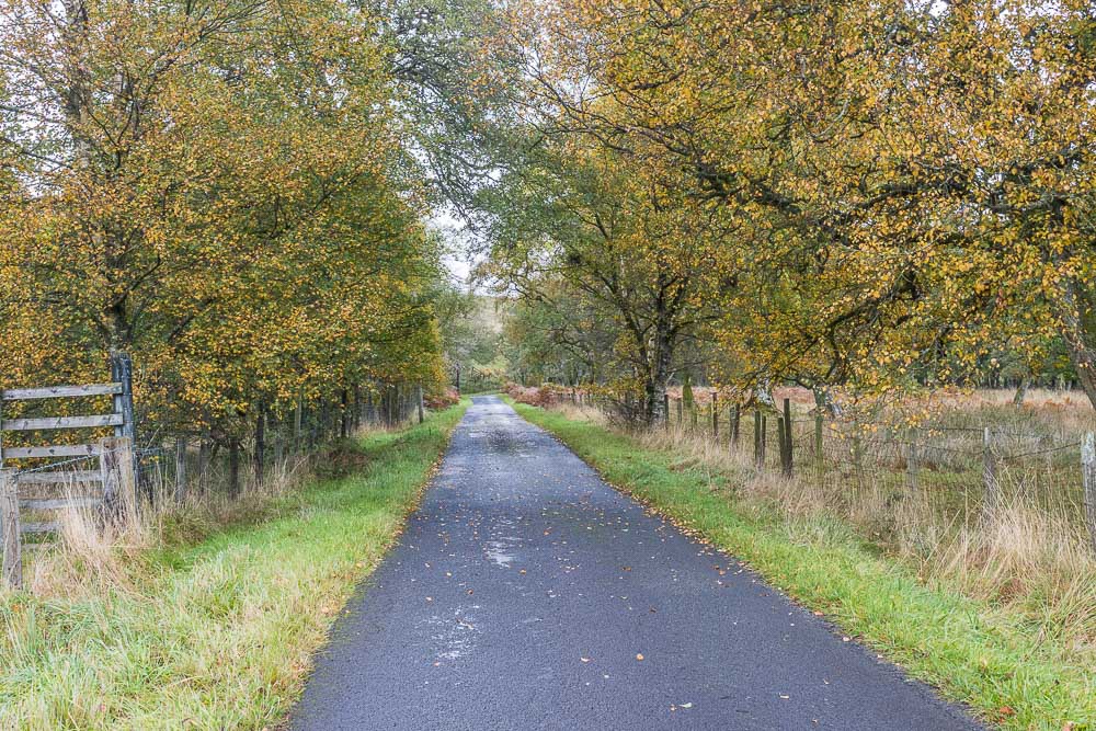
As we walk along the road the scenery reminds us that it now autumn.

As we approached Cadger Ford, the point we would potentially use to access the moor later, we were being closely observed by the mothers with calves.

Turning onto the public footpath at the signpost we were surprised by how overgrown it was, clearly it isn't used very often.

Having reached the first forest track that crossed the public footpath we thought the route ahead was improving, it certainly seemed clearer. Whilst it was wider it was still very overgrown, with frequent gullies appearing at the side of you, making for some very slow going.

Although the public footpath through the wood was well signed by the time we reached the first engineered forest track we decided to abandon it and instead wind our way closer to the access point for the trig point using the engineered tracks.

Following the engineered tracks was much easier and at one point we even had a deer cross in front of us, sadly too quick for me to photograph.

As we reached a junction we were able to enjoy a view across to Wainbog Hill thanks to what looks like a recently cleared area of the forest.

Our route took us in the opposite direction and our view was once again limited to lines of conifers.

Having once again negotiated the ankle breaking public footpath through the wood we finally reached the field which would allow us to access the trig point.

Crossing the field was a damp and predominantly pathless affair but at least it was free from any cows and landowners. It is shown on the map as being within an area of Open Access so we weren't trespassing.

After a quick scramble up through the slippery rocks and ferns we finally reached our target. Here looking back towards Bower Wood from the trig point.

Looking across to Thorneyburn Common and the ridge we walked along yesterday.

The rain had stopped as we crossed over the field to the trig but the views were still rather limited, although we could make out the cottages at Ferny Rigg, where we were stopping.

Looking down the valley towards Kielder Reservoir, although the low cloud meant no views of the reservoir.

As we stood taking in the views the cloud lifted and we could briefly see across the valley to Falstone Forest.

As the rain was threatening to start again we decided against lunch with a view and instead opted for one with some shelter, so headed back across the field to the gate into the wood.

We rejoined the tracks through the forest and found a convenient log on which to sit and enjoy our lunch.

Walking back through the woods following the main tracks we spotted a wide variety of fungi, including numerous groups of Fly Agaric.

As we approach the road Miller Hill comes into view. As we had joined the road some way from Cadger Ford we opted to turn left and miss out on a walk across Snabdaugh Moor.

Having dropped our rucksacks in the boot we decide to explore Dally Castle before we take our boots off.

A short scramble takes up onto the remains of the castle, where we can make out some of the features mentioned in the sign at the entrance.

Looking across to Snabdaugh Moor and Hart Crags from Dally Castle. Sadly given the timing of the walk the pubs we pass on the way home are closed so we have to pass on a post walk pint.
All pictures copyright © Peak Walker 2006-2023